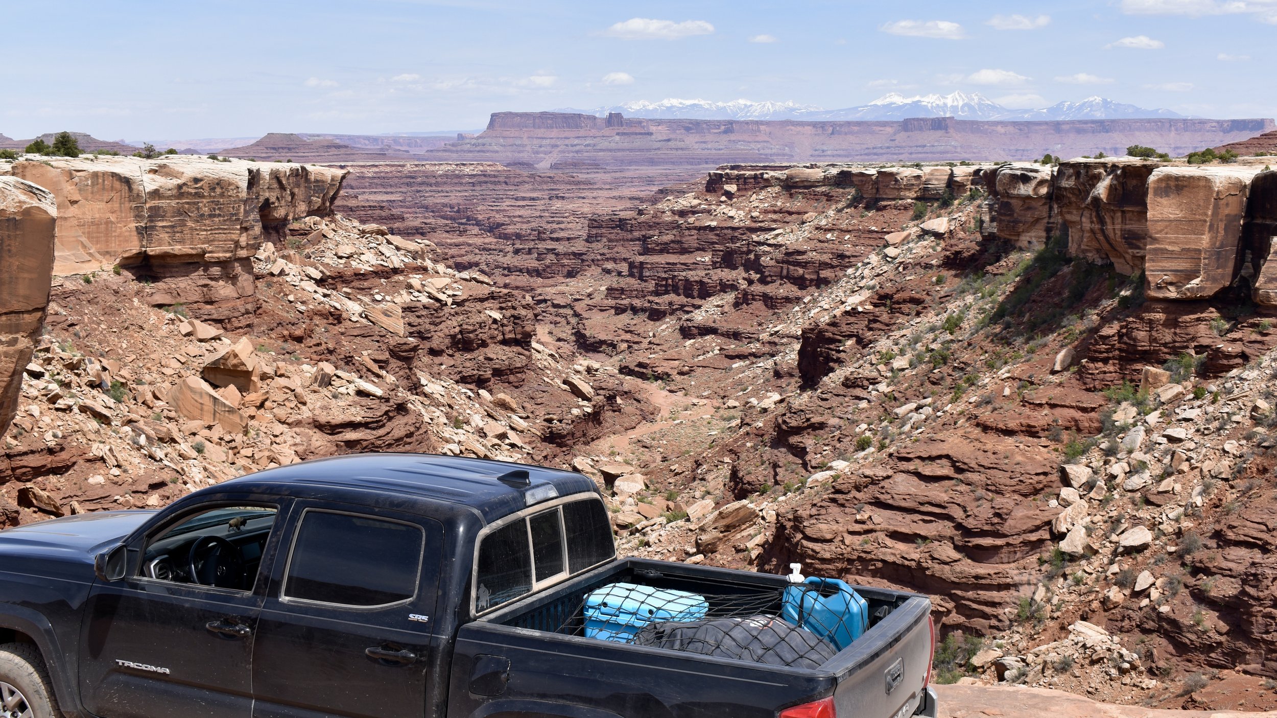
White Rim Road
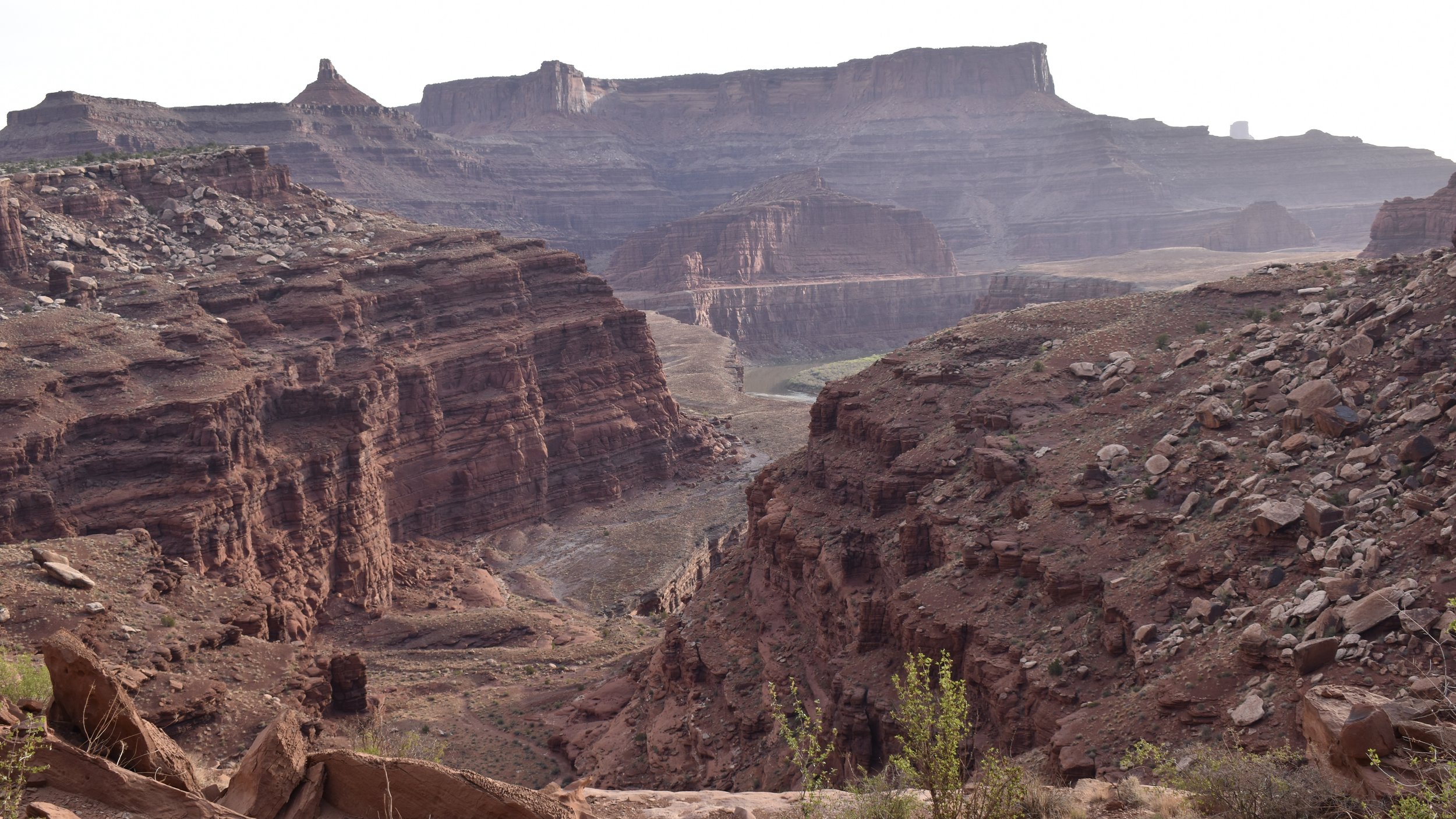
The moment I saw the White Rim Road from the Grand Viewpoint in Island in the Sky, I knew I had to drive it. I didn’t do the entire thing yet but the half that I did was a fantastic adventure that takes you down the breathtaking Shafer Trail, inches from overhanging cliffs, and to spires, natural bridges, and the edge of the thrilling Monument Basin. All the while, the towering red cliff walls of Island in the Sky tower above you in imposing fashion. If you have a 4WD, high clearance vehicle, a tolerance for some bumpy driving, and nerves of steel, this is the drive for you.
You definitely need a day pass from the parks service which you can get online the day before because they check and see if you have it. They drive a little Jeep and check every car and camper and biker they see. I didn’t want to get one because it’s public land and all but I did and i’m thankful that I did in the end. Maybe they just turn you around or maybe they impose some draconian penalty on you but regardless, give in to the man and get your day pass. At least it’s free! For now…
I think the best way to start the adventure is to head up 313 and into the Islands in the Sky before turning down the Shafer Trail. It may seem imposing, and it is, but it’s such an incredible drive.


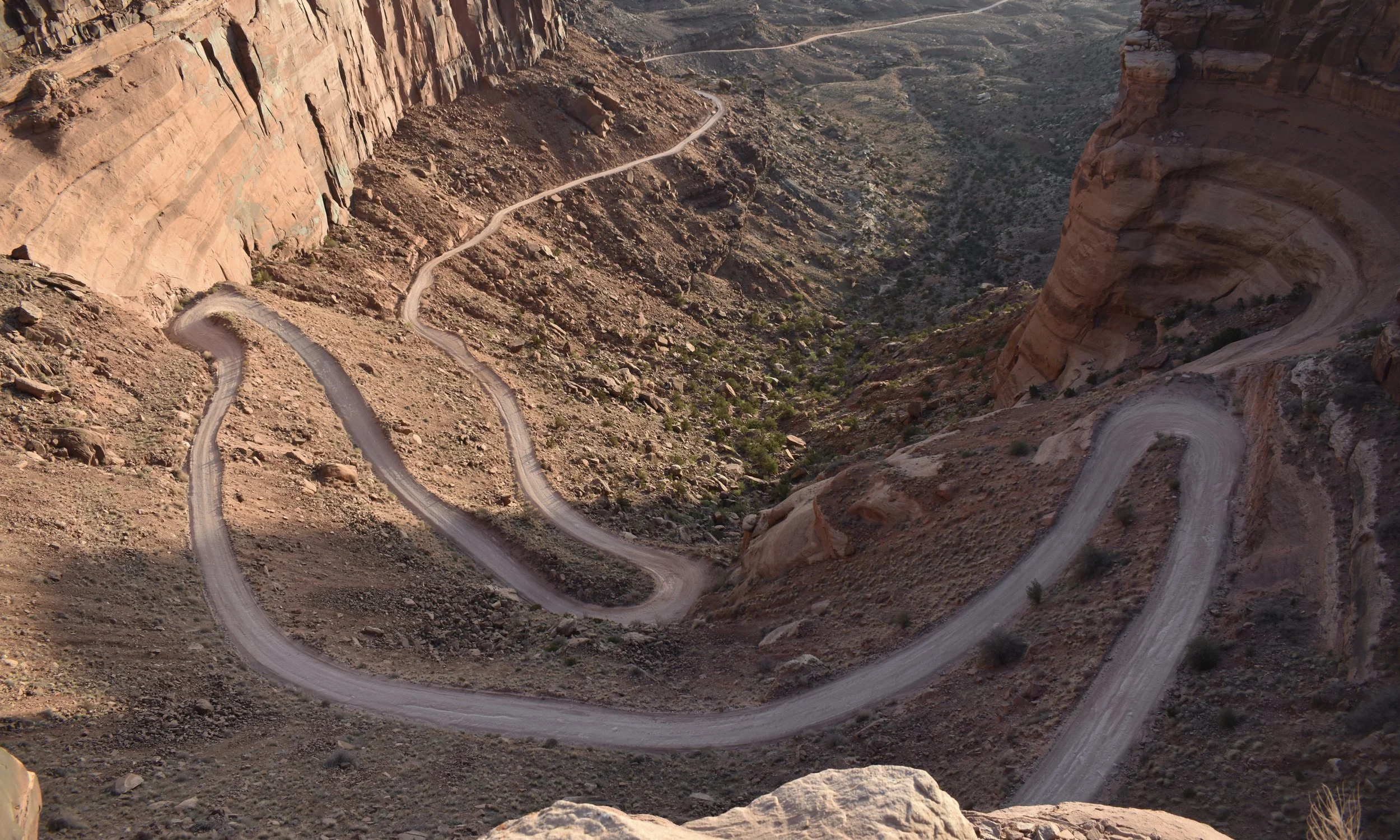
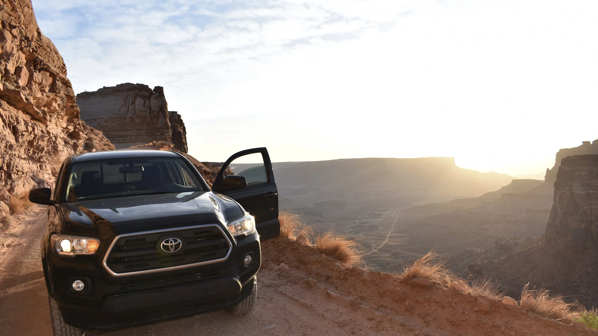

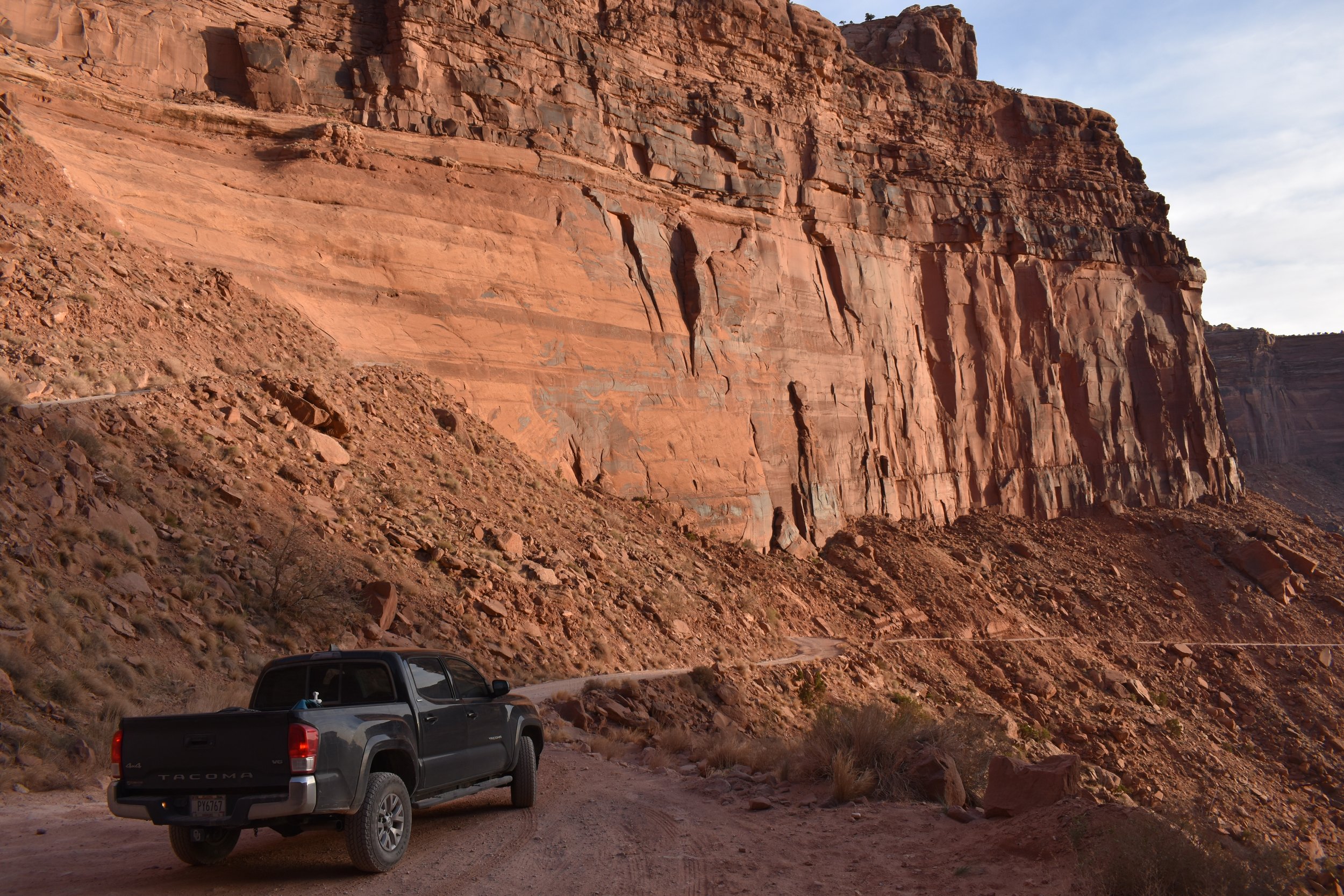
Once down the Trail and on the White Rim Road you can’t help but feel small.


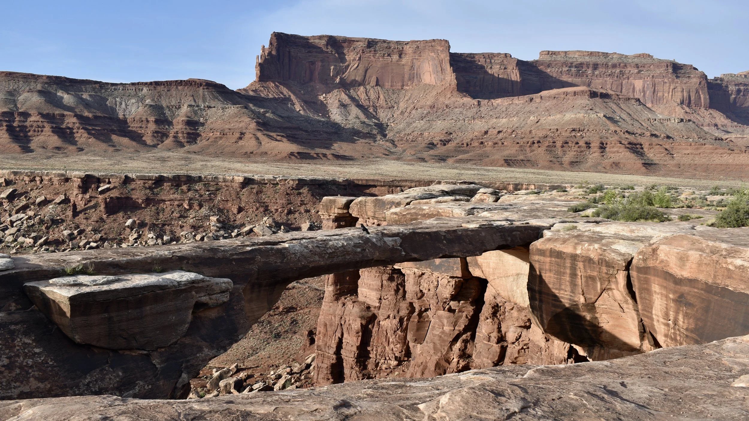
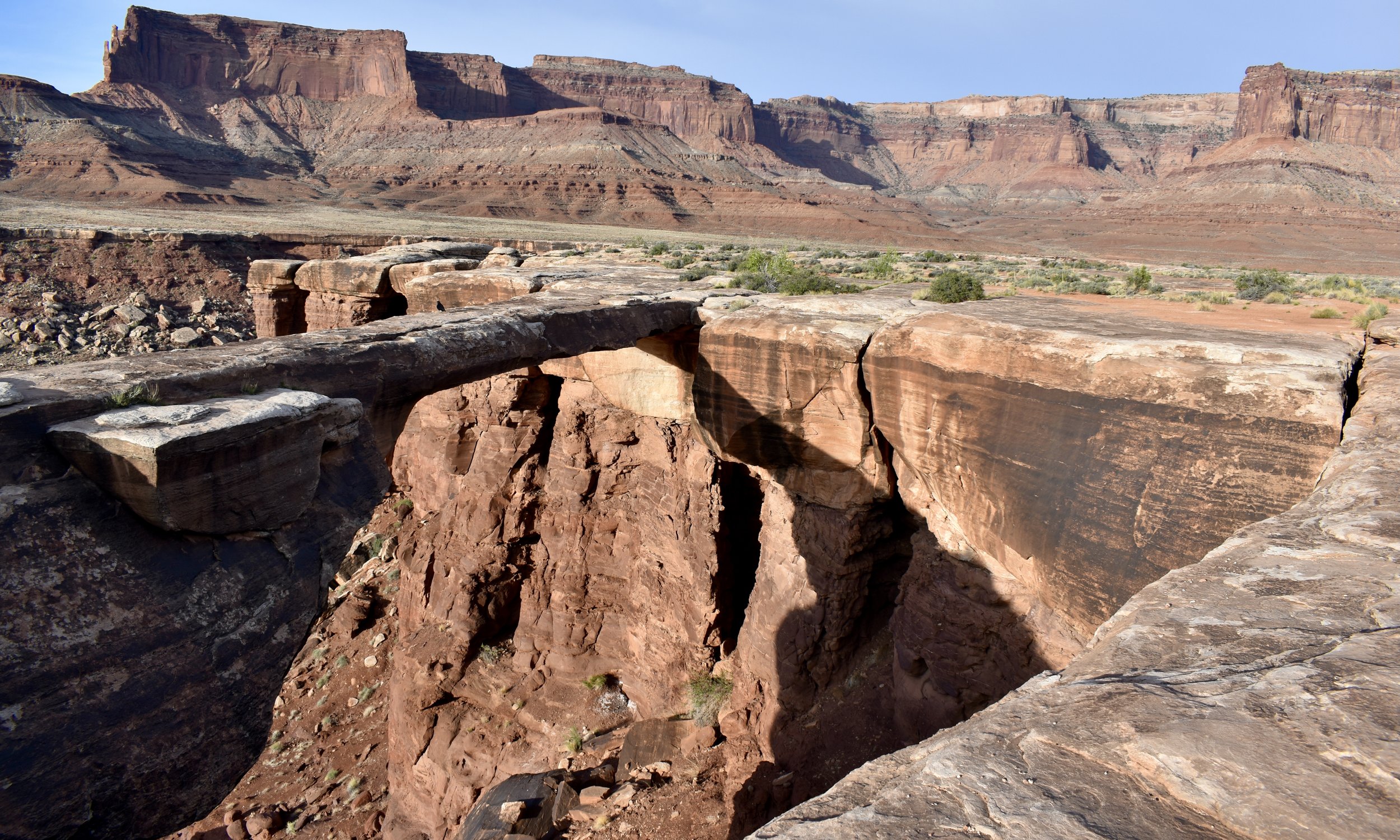
Before long you reach your first real stop at the Musselman Arch.




From the arch it’s more bumping and grinding and breathtaking views. I stopped constantly to admire the steep red cliffsides and canyons you drive up to the edge of like Little Bridge and Lathrop. You can actually travel down Lathrop Canyon road all the way to the Colorado River. I didn’t because I read that it is very rough and it takes a good chunk of time, which I just knew I didn’t have. One day I will though!


Eventually on your right, the Airport Tower and then Monster Tower appear as you wind your way around them past Buck Canyon. You’ll also notice the White Rim Overlook Trail.


And then just like that you’ve got the amazing Monument Basin on your left and the Grand View Point on your right with Junction Butte just ahead of you. It’s the perfect spot for a lunch. If you look hard enough, you can even see the Needles.


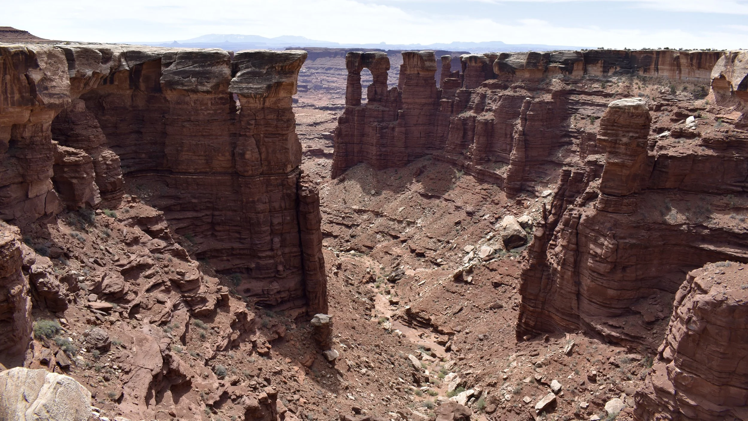


All those years before, when I’d seen the White Rim Road from the lookout hike and when I’d seen those motorcycles at the lookout for Monument Basin, I just knew I had to be there. I had finally made it and it felt so good.


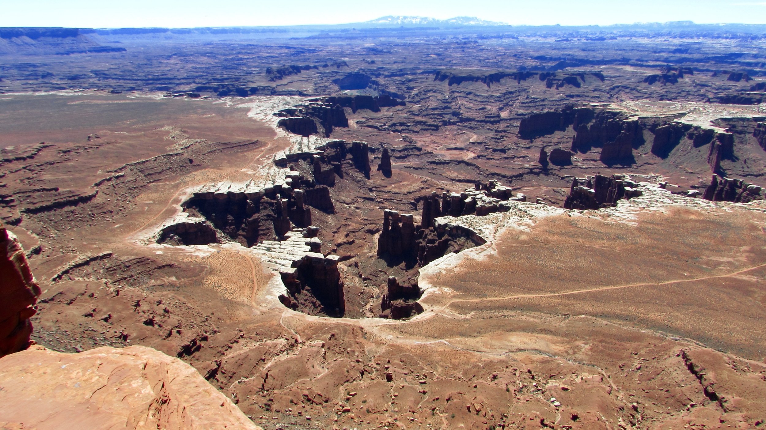
So by 12:30pm I’d reached almost the halfway point. If I had kept going I would have made it to the end, especially at the pace I was going but I would have missed out on so much more. I think the best way to explore this amazing road is absolutely to make it a two day adventure, maybe even three. There are around 18 campsites or so spread out along the road so make sure to book far in advance. I have no doubt they book quickly.
So from Monument Basin I made my way back to Moab. I was going to go back using Potash Road but I was bumped out, I think my jaw was dislodging, and a few of my teeth were cracked. I needed a break from the jostling and that beginning of the Potash Road where it splits from Shafer was the roughest road I’d been on all day. So instead, I raced back up the Trail and onto the plateau. I’ll finish this trek one day. As I say often when things don’t go 100% according to plan out west, I’ll save it for next time.


